Home » About
As a family-founded company, we maintain a personalised approach, ensuring we truly understand and cater to our clients’ needs. Despite our small size, we uphold a high standard of professionalism and meticulous attention to detail. We take pride in delivering high-quality outcomes and exceeding expectations in all our projects.
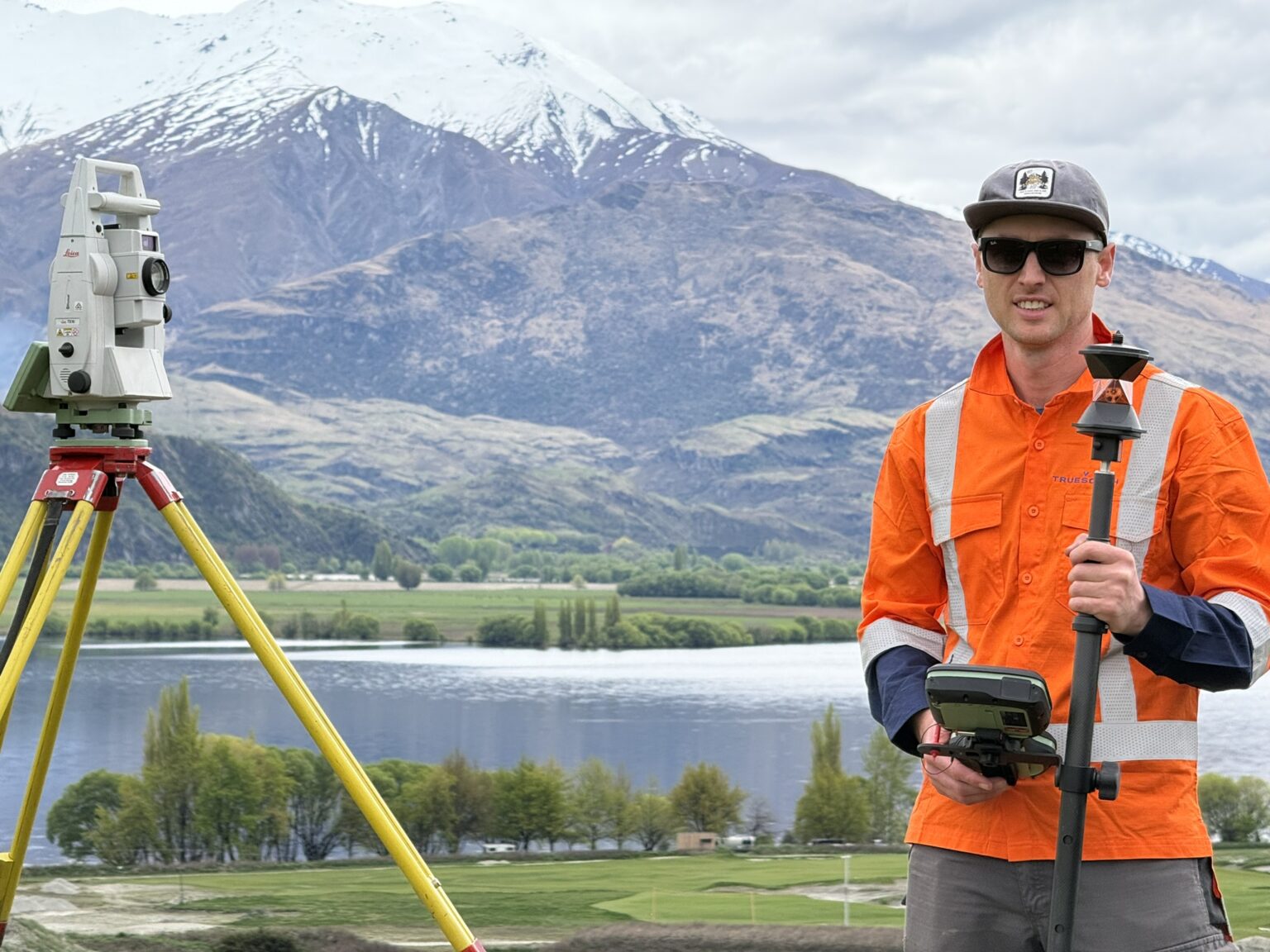
We have continually upgraded and expanded our equipment and software to keep up with ever-changing technological advances. Our comprehensive range of survey gear includes:
Construction control and set-out
Fiordland & Stewart Island hydrographic surveys
Engineering design for earthworks, access & services
Survey control for hydrographic charting, geodetic control marks & tidal monitoring stations
Drone mapping & monitoring of Tiwai Point
Extensive survey capture including profiles and depth soundings
Mapping control for the National Park 1:50000 map series
Survey control for second tunnel
Boundary definition of 138600 ha on Stewart Island
Construction set-out
Aeronautical obstruction surveys